The Fehmarnbelt project's environment portal is named after the giant sea god, Ægir, from Norse mythology. The portal offers the opportunity to view key environmental data, which is regularly updated by means of live data from our environmental monitoring buoys in the Fehmarnbelt.
Transparent monitoring of the marine environment in the Fehmarnbelt
The environment in and around the Fehmarnbelt is a key priority during the construction of the Fehmarnbelt tunnel. Consideration for the marine environment has been incorporated into all phases of the project, which is why we have established a marine monitoring programme that tracks the marine environment around the clock – from water quality and marine mammals to seabed ecosystems. The monitoring covers both deep water and coastal areas in Denmark and Germany.
A programme focusing on responsibility and adaptation
The Fehmarnbelt project's marine monitoring programme has been developed to document any environmental impacts and verify the environmental consequences that have previously been assessed in the environmental approvals. The programme is adaptive, which means that monitoring can be adjusted on an ongoing basis as construction progresses and results are collected.
Key environmental areas monitored
The monitoring programme focuses on a number of carefully selected environmental areas that are crucial to protecting the marine environment. These include:
- Water quality: Measurements of water currents and turbidity
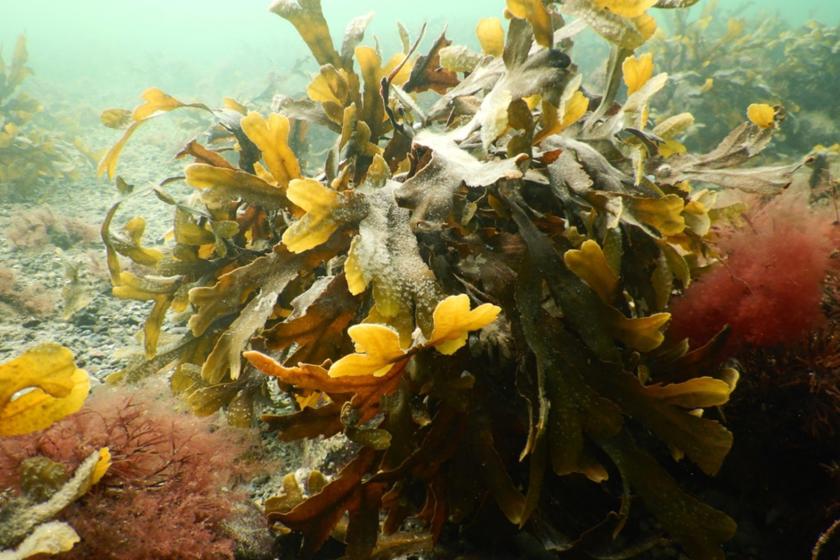
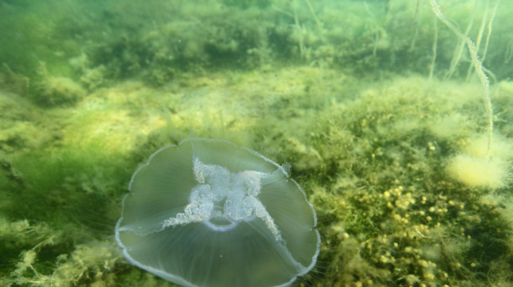
- Seabed flora and fauna: Monitoring of ecosystems both along the coast and in deep water
- Marine mammals and birds: Observation and acoustic measurement of porpoises and bird life, among other things
- Underwater noise: Monitoring of noise levels to protect marine mammals
- Coastal morphology: Mapping of the development of coasts and the seabed
How the monitoring is carried out
The monitoring programme is carried out using advanced technologies and methodologies:
- Hydrography and water quality: Data is collected from stations located both offshore and near the coast.
- Sedimentation measurements: Measurements along the German coast assess how sediment spill is affected by construction.
- Meteorology: Weather conditions are recorded to understand their impact on the environment.
- Modelling: Advanced models analyse sediment dispersion and effects on bottom vegetation.
- Birds and marine mammals: Monitoring is carried out using aerial photography and acoustic measurements of wildlife.
- Underwater noise: Measurements ensure that noise levels remain within permitted limits.
Transparency and cooperation
To ensure a systematic and transparent process, the monitoring results are assessed on an ongoing basis. If deviations from the expected impacts are identified, further measures are implemented. The entire process is conducted in close dialogue with Danish and German authorities to ensure that all relevant stakeholders are kept up to date on the state of the environment.